Displaying 1 - 8 of 8
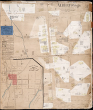
Prince Edward Island
Publisher: Chas. E. Goad, Civil Engineer
Type: fire insurance maps
Date Issued: 1888
Date Modified: 1910-08, 1917-07
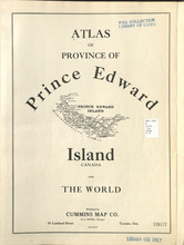
Atlas of Province of Prince Edward Island, Canada and the World
Description: Cummins devotes most of its opening pages to a detailing of the Island’s contribution to the First World War or “European War”. This event had forever changed many communities on the Island.
More… more
Publisher: Cummins Map Co.
Type: historical atlases
Date Issued: 1927
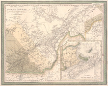
Canada East formerly Lower Canada
Description: Includes Quebec and Maritimes. Colour by region - primarily beige, yellow, green (compared to other versions of this map, the colours are muted). Inset map includes numbered counties for New… more
Publisher: Mitchell, S. Augustus, S. Augustus Mitchell
Province: Prince Edward Island
Date Created: 1846
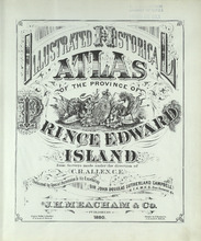
Illustrated historical atlas of the province of Prince Edward Island: From surveys made under the…
Description: Published in 1880 by the J. H. Meacham Company, the Illustrated Historical Atlas of the Province of Prince Edward Island contains maps of each Lot on the Island, maps of Charlottetown and various… more
Publisher: J. H. Meacham & company
Type: historical atlases, pictorial maps
Date Issued: 1880
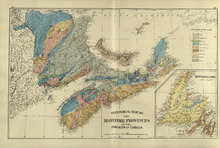
Atlas of the Maritime Provinces of the Dominion of Canada with historical and geological…
Publisher: Roe Brothers
Type: historical atlases
Date Issued: 1878
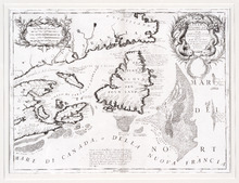
Canada Orientale nell' America Settentrionale: descritta dal P. Mro. Coronelli M C Cosmografo…
Description: Rectangular map, black on white paper. The map shows Newfoundland; Prince Edward Island; Anticosti Island; Cape Breton; part of mainland Nova Scotia; part of New Brunswick; part of Quebec; and part… more
Province: Newfoundland, Nova Scotia, Prince Edward Island
Type: topographic maps
Date Created: 1695
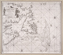
Pas-kaart, Vande Zee-Kusten van, Terra Nova, Met de Byleggende Zee-Kusten van Francia Nova Canada…
Description: Rectangular engraved map of Newfoundland, Nova Scotia, Prince Edward Island, and part of Quebec; framed and covered with glass. Black and white. Depicts Newfoundland, Nova Scotia, Cape Breton, Prince… more
Province: Newfoundland, Nova Scotia, Prince Edward Island, Quebec
Type: topographic maps
Date Created: 1687
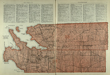
Lots 25 & 26 : Prince County
Publisher: Cummins Map Co.
Type: cadastral maps
Date Issued (Source): 1927
